Aurora sits on a complex glacial stratigraphy that makes site-specific seismic characterization non-negotiable. The city straddles both the Fox River valley and the surrounding till plains, where abrupt lateral changes in soil stiffness are the rule rather than the exception. We run Multichannel Analysis of Surface Waves (MASW) to cut through that uncertainty and deliver a direct measurement of shear wave velocity, not an empirical guess. For sites in Kane County where shallow bedrock or dense lodgement till controls the response, the VS30 value anchors the seismic design category under ASCE 7-22 and determines whether a more expensive moment frame or a simpler bearing wall system is viable. When the surface wave data suggests soft zones at depth, we often recommend pairing the MASW survey with a seismic refraction line to cross-check the velocity model and map the top of rock with greater precision.
VS30 is not just a number for the permit package—it determines whether your foundation design absorbs lateral forces elastically or must dissipate them through ductile detailing.
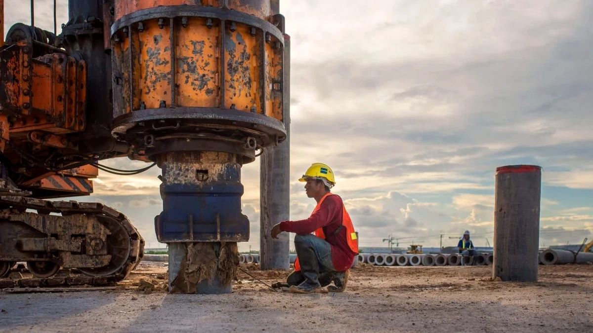
Technical details of the service in Aurora
Local geotechnical conditions in Aurora
What we see repeatedly in Aurora is that borings alone can misrepresent the shear wave velocity profile when gravel lenses or cobble layers are present. SPT N-values in coarse glacial outwash can read artificially high due to particle interference, while the same layer may transmit shear waves at a more moderate velocity. If the engineer uses a correlation equation like N-value to Vs without calibration, the resulting VS30 can shift the site from Class D to Class C—or vice versa—and swing the seismic base shear by 30 percent or more. A direct MASW measurement avoids that correlation error entirely. The bigger risk is missing a velocity inversion, where a stiff crust overlies softer clay; surface settlement and spectral amplification both increase, and the foundation may not behave as the structural model assumes.
Our services
Every Aurora project starts with a clear scope tied to the building code chapter that governs it. The three service packages below cover the most common scenarios we encounter across Kane County.
VS30 Site Classification Package
One or two MASW lines to establish the average shear wave velocity in the upper 30 meters. Includes the IBC site class letter and a signed report ready for permit submission. Ideal for commercial pads and warehouse expansions in the I-88 corridor.
Liquefaction Screening Add-On
When the subsurface log shows saturated sands above Fox River level, we add a cyclic stress ratio evaluation using the measured Vs profile. This identifies layers susceptible to liquefaction under the design earthquake and supports mitigation decisions before grading begins.
Seismic Site Response Analysis
For tall or irregular structures requiring spectral matching per ASCE 7 Chapter 21, we generate a site-specific ground motion model using the shear wave velocity profile. This can reduce the design spectral accelerations compared to the default code values, often saving on structural steel.
Quick answers
How much does a MASW/VS30 survey cost for a standard commercial lot in Aurora?
Can MASW be conducted on a paved parking lot, or does the site need to be bare soil?
MASW works well on asphalt and concrete pavement as long as the geophones can achieve firm coupling. We use base plates with a thin layer of viscous couplant or drill small pilot holes through the pavement to seat the spike. The pavement layer itself appears as a high-velocity cap in the dispersion image and is accounted for during the inversion. The main constraint is not the surface material but the ambient noise level—active parking lots with truck traffic may require surveying after hours to maintain signal quality.
What is the difference between a VS30 value from MASW and one estimated from SPT blow counts?
A direct MASW measurement propagates surface waves through the actual soil column and records the phase velocity at different frequencies; the inversion produces a shear wave velocity profile that is independent of penetration resistance. SPT-based Vs estimation uses empirical correlations developed for specific soil types—often sands from California or Japan—which can introduce significant error when applied to Aurora's glacial tills and lake clays. The IBC explicitly favors direct measurement over correlation, and many Aurora building officials now require at least one measured VS30 per project rather than relying solely on N-value conversion.
How long does it take to receive the final report after the field survey?
Fieldwork for a standard two-line MASW deployment typically wraps up in half a day. The data processing—dispersion curve picking, inversion, and VS30 calculation—requires another one to two business days. The signed report with the site class designation and the velocity profiles is delivered electronically within three to four business days after the survey. For fast-track projects, we can often provide the site class letter within 24 hours, with the full geophysical appendix following a day later.