Aurora sits at roughly 670 feet above sea level, straddling Kane and DuPage counties. The last earthquake felt widely here was the 2010 Illinois tremor, a reminder that the New Madrid and Wabash Valley seismic zones reach into northern Illinois. Most Aurora building sites encounter glacial till, sand lenses, and soft clay layers that amplify shaking in non-obvious ways. A seismic microzonation study maps exactly where that amplification occurs across your parcel. We deliver site-specific Vs30 profiles, NEHRP site class, and liquefaction potential indices so structural engineers can apply the correct seismic design category under ASCE 7-16 and the current IBC. For deeper borings that feed the ground model, we often pair microzonation with SPT drilling to capture N-values every 5 feet through the soil column.
A single site class assignment for a whole Aurora parcel can leave money on the table — or undershoot the hazard. Zonation maps show where the ground actually changes.
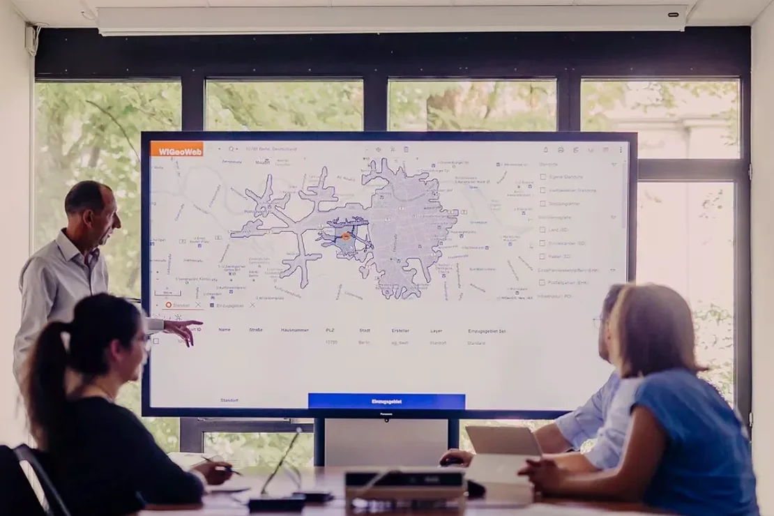
Technical details of the service in Aurora
Local geotechnical conditions in Aurora
The field work for Aurora microzonation typically involves a 24-channel seismograph, 4.5 Hz geophones, and a sledgehammer source on pavement or soil. In winter months, frozen ground at the surface can stiffen the near-surface velocity by 15-20%, so we schedule MASW and refraction lines when the top 6 inches are thawed. Skipping microzonation and defaulting to Site Class D — which is what the IBC permits if no data exists — can overestimate or underestimate short-period acceleration by a full site class step. For essential facilities, that gap can push the design into a higher seismic design category, triggering stricter detailing requirements. The report includes a statement of professional opinion signed by the responsible engineer, ready for city of Aurora building department submittal.
Our services
We organize seismic microzonation deliverables around what the structural engineer and the geotechnical reviewer actually need — no filler, no black-box modeling.
Vs30 Profiling and Site Class Determination
MASW or downhole seismic methods to measure shear wave velocity in the upper 100 feet. Results map directly to NEHRP site classes A through F.
Site Response and Amplification Analysis
1D equivalent-linear analysis with DEEPSOIL or similar, using modulus reduction curves matched to Aurora glacial deposits. Output is a design acceleration spectrum.
Liquefaction Hazard Screening
SPT- or CPT-based trigger analysis for the design earthquake. We deliver factor of safety maps, LPI contours, and settlement estimates where liquefaction is flagged.
Quick answers
Does Aurora actually need seismic microzonation? Illinois isn't California.
The New Madrid and Wabash Valley seismic zones produce moderate-to-strong ground motions that reach Aurora. ASCE 7-16 maps show a 0.15g short-period spectral acceleration for the area. A site-specific study often reveals amplification in soft Fox River valley deposits that code-default assumptions miss.
What does a microzonation study cost for a typical commercial lot in Aurora?
How long does the field work and reporting take?
Field acquisition runs one to two days. The lab processes dispersion curves and runs the site response model within 10-14 business days. We can expedite for fast-track projects if the schedule is communicated upfront.